Start with the land, not the pipe size
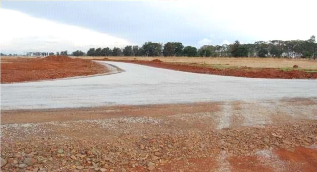
Effective stormwater design begins with a clear understanding of the existing ground. A reliable topographic survey shows ridges, low points, neighbouring flows and the natural routes water will take when formal systems are exceeded. The engineer then divides the site into catchments and tests how proposed roads, roofs and paved areas will change runoff. This early work influences platform levels, road gradients and the amount of land needed for drainage infrastructure.
The aim is not simply to move water away as quickly as possible. A good strategy controls where water travels, how fast it moves and where it can discharge without creating erosion or transferring risk downstream.
Coordinate roads, plots and drainage together
Road geometry and drainage are inseparable. Kerb lines, crossfalls, culvert positions and access crossings must work with plot entrances and building platforms. Resolving these elements together reduces late changes and protects developable land. On larger sites, detention or attenuation may be needed to limit peak discharge and release water at a controlled rate.
Major flow paths also need space. If an inlet blocks or a storm exceeds the design event, surface water should have a predictable route that avoids buildings, electrical equipment and vulnerable boundaries.
Design for construction and maintenance
Drainage details must reflect available materials, safe excavation, traffic loading and the ability to clean the system. Long inaccessible pipe runs, abrupt level changes and unprotected outlets often become maintenance problems. Inspection chambers, silt traps, erosion protection and access for cleaning equipment should be treated as essential infrastructure.
Construction supervision is equally important. Incorrect gradients, damaged pipes or changed levels can compromise an otherwise sound design, so survey control and staged inspections should be built into the delivery plan.
Information that improves the design brief
Developers can accelerate design by providing a current topographic survey, preliminary site layout, geotechnical information, known municipal connection points and any record of flooding on or near the property. Early engagement with relevant authorities also helps confirm discharge expectations and reserve requirements.
A coordinated stormwater strategy protects buildings, roads and neighbouring property while creating a development that remains serviceable through seasonal rainfall.
- Current topographic survey
- Catchment and runoff assessment
- Road and platform level coordination
- Safe exceedance routes
- Maintainable outlets and access